Twelve Inches of Water Carries Away a Car. More Than Half of Flood Deaths Are People Who Drove Into It.
Key takeaways · 12 min read
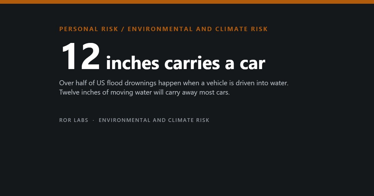
- Over half of flood deaths happen when a vehicle is driven into flood water.
- 6 inches knocks an adult down. 12 inches carries away most cars. 24 inches takes SUVs and trucks.
- The current does not lift the car. It floats it just enough that the tyres stop gripping.
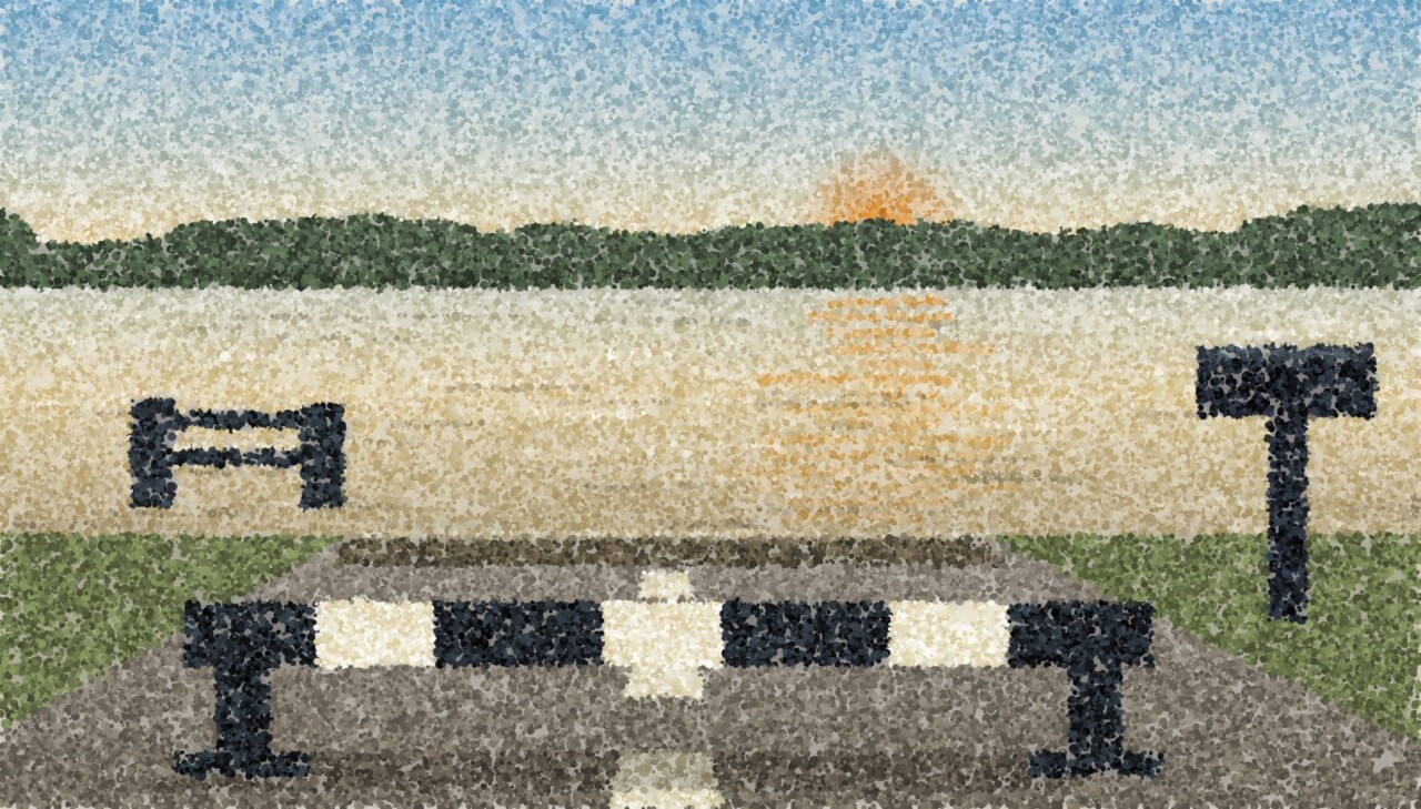
- Never drive around a barricade. It is often there because the road surface underneath has been scoured away.
A car weighs a tonne and a half and feels like the safest place to be in bad weather. That intuition is correct for wind, correct for hail, and lethally wrong for water.
The National Weather Service puts it in one sentence: over half of all flood-related drownings happen when a vehicle is driven into flood water. Not people swept out of their homes, not people caught outdoors. People who arrived at the edge of a covered road, made a judgement, and drove forward.
The arithmetic behind that is much smaller than people assume. Twelve inches of moving water — not up to the top of a tyre — will carry away most cars. And the second half of this article is about the other reason people are caught unprepared: the official maps that tell Americans whether they are at risk are missing roughly six million properties.
The depths, which are the whole point
What moving water does at each depth
National Weather Service figures, for moving water — which is what a flooded road contains. Six, twelve and twenty-four inches are 15, 30 and 60 cm.
Source: US National Weather Service, Turn Around Don’t Drown flood safety guidance.
A vehicle displaces water and displaced water pushes back. Once the water reaches the door sill, a large share of the car’s weight is carried by buoyancy rather than by the tyres. What is left pressing on the road surface is small enough that a modest current slides the whole vehicle sideways. The driver experiences this as the steering going light, and at that point there is no useful action left to take.
Why the car is the trap
Every element of the situation pushes toward driving on, and it is worth naming them because recognising the pattern is most of the defence.
The conditions that produce the decision
Source: National Weather Service flood safety guidance.
The maps are missing six million properties
The second half of the problem is that a great many people have never been told they are exposed. In the United States, whether you are “in a flood zone” is decided by FEMA’s flood maps, and those maps are the basis for mortgage requirements, insurance pricing and almost every homeowner’s mental model of their own risk.
Properties at substantial flood risk
Source: First Street Foundation national flood risk analysis, 2020, compared with FEMA’s special flood hazard area figures; reporting on the analysis and on FEMA mapping coverage.
Two things follow. The first is that “we are not in a flood zone” is a statement about a map, not about your ground. The second is where the missing risk concentrates: small streams, urban drainage that cannot cope with intense rainfall, and places where the water arrives from the sky faster than it leaves rather than from a river bursting. That is also the kind of flooding that produces the road situation described above.
We have written separately about what home insurance does and does not cover in this situation — the short version is that standard policies exclude flood entirely, and 29% of US flood claims came from outside the designated high-risk zones, which is the same gap seen from the payout end.
What actually reduces the risk
In order of how many deaths it addresses
| Action | Why it is in this position |
|---|---|
| 1. Never drive into water of unknown depth | Over half the deaths. There is no version of this that has an exception for a short stretch, a familiar road, or a large vehicle. Twelve inches carries away most cars and you cannot see twelve inches. |
| 2. Never drive around a barricade | The barricade is often there because the road surface is gone, not because the water is deep. This is a distinct failure mode with a distinct outcome. |
| 3. Know your actual risk, not your map status | Check an independent flood risk estimate for your address as well as the official zone. Being outside the zone tells you what the regulator required, not what the water will do. |
| 4. Make sure a night warning can wake you | Flash floods arrive at night. A warning that lands on a silenced phone is not a warning. Check that your phone’s emergency alerts are enabled and audible, and consider a device that does not depend on the phone at all. |
| 5. Decide the route before, not at the water | If you know which two or three low crossings sit between you and home, you can choose in advance. Deciding at 40 mph in the dark is the situation to design out. |
| 6. Move upward, not outward | If water is rising around a building, the instinct to drive out is the one that kills. Going up inside the building is almost always the better move until it is not, and a road is a channel. |
Sources: National Weather Service flood safety guidance; First Street Foundation flood risk analysis.
A NOAA weather radio
This exists to solve exactly one failure: the warning that arrives at 3am on a phone that is face down and silent.
See NOAA weather radios on Amazon (paid link)
Outside the United States this specific product does not apply; the equivalent is making sure your national meteorological service’s alerts can reach you overnight through something that is not a muted phone. And if your phone’s emergency alerts are already enabled and audible, that covers most of the same ground for free — check before you buy.
Four things sold for flooding that we are not recommending
Four of the six actions on the list above are free, and the fifth is checking a setting on the phone you already have.
The “hundred-year flood” is not a hundred-year event
One more piece of vocabulary does quiet damage here. A “100-year flood” is not a flood that happens once a century. It is a flood with a 1% chance of occurring in any given year, and the two are not the same claim at all. The phrase invites people to think of it as due or overdue, and to treat a recent flood as having used up the allocation. Neither is true; each year is a fresh 1%.
The arithmetic that matters is cumulative. Assume 1% a year and no change over time, and the chance of at least one such flood during a 30-year mortgage is one minus 0.99 raised to the thirtieth power — about 26%. Roughly a one in four chance across the life of the loan, for a property described by a phrase that sounds like it means “almost never”.
Chance of at least one 1%-a-year flood, over time
Straight arithmetic from a constant 1% annual probability.
Calculation by ROR Labs from the standard definition of the 1% annual chance flood used in US flood hazard mapping.
Questions people ask
My car is high. Does twelve inches really apply to me?
The two-foot figure for SUVs and trucks is the relevant one, and it is not much comfort: two feet of moving water on a road you cannot see the surface of is a routine flash flood, not an extreme one. Height helps with the buoyancy threshold and does nothing about the two other failure modes — a road that has been scoured out underneath, and an engine that stops when water reaches the air intake. A stalled vehicle in moving water is the same situation as a floating one, arriving more slowly.
What do I do if the car does start to float?
Get out through a window immediately, while the car is still upright and before it is fully in the current — doors will not open against outside water pressure. This is the answer to the question, and we would rather you never need it, which is why the whole article is arranged around the decision made thirty seconds earlier. Nobody has ever been well served by planning to handle this stage well.
How do I find out my real flood risk?
Look up two things and expect them to disagree. The official map tells you your regulatory status — what your lender and insurer will treat as true. An independent flood risk estimate for the same address tells you what the modelling says, including rainfall-driven flooding that the official maps often do not cover. Where they diverge, the useful move is not to argue about who is right but to notice that your exposure may not be reflected in your insurance, which is a separate and fixable problem.
Is flooding getting worse, or is this just better mapping?
Both, and it is worth keeping them apart. The gap between 8.6 and 14.6 million properties is mapping — those homes were already at risk and were not counted. First Street’s projection of around 16 million by 2050 is a modelled figure about the future, and modelled projections carry much more uncertainty than a present-day count. Anyone using the second number as though it had the same standing as the first is overstating the case.
We live on a hill. Does any of this apply?
The house may be fine. The commute is the exposure. Every one of the vehicle deaths involved somebody who did not live in the water — they drove to it. The low crossing between your hill and the shops is the piece of infrastructure worth knowing about, and it is the one nobody thinks to identify until the night it matters.
The short version
- Over half of flood deaths happen when a vehicle is driven into flood water.
- 6 inches knocks an adult down. 12 inches carries away most cars. 24 inches takes SUVs and trucks.
- The current does not lift the car. It floats it just enough that the tyres stop gripping.
- Never drive around a barricade. It is often there because the road surface underneath has been scoured away.
- FEMA maps count 8.6 million properties at risk. Independent modelling puts it at 14.6 million — about 70% higher, roughly six million homes.
- FEMA has mapped about a third of US rivers and streams and half the shoreline. The gap is budget, not conspiracy.
- “We are not in a flood zone” is a statement about a map.
- Decide your route before you are standing at the water at night. That is the only moment the decision can be made well.
This article summarises US National Weather Service safety guidance and published flood risk modelling. It is general information rather than advice about your property, your insurance or a specific weather event. During an active warning, follow the instructions of your local emergency management authority rather than anything written in advance — they have information about your particular water that this article cannot. Flood risk figures outside the United States come from different agencies and different methods.
Further reading: Rising: Dispatches from the New American Shore — Elizabeth Rush (Milkweed Editions, 2018). On the communities where the water has already won, told largely in residents’ own words. It is literary reportage about the coast rather than an analysis of inland flash flooding, which is where most of the deaths in this article occur — read it for what managed retreat actually looks like to the people doing it. Find it on Amazon (paid link)
On the links above: some are affiliate links, marked (paid link). If you buy through one we may earn a commission at no additional cost to you. As an Amazon Associate I earn from qualifying purchases. We link to product searches rather than specific items so that recommendations do not break as models change, and we say plainly when we are choosing not to link something. Full policy: Affiliate Disclosure.
Sources
- US National Weather Service, Turn Around Don’t Drown flood safety guidance. (Over half of all flood-related drownings occur when a vehicle is driven into hazardous flood water; 6 inches of fast-moving water can knock over an adult; 12 inches of rushing water can carry away most cars; 2 feet can carry away SUVs and trucks; many of these drownings are preventable; never drive around barriers blocking a flooded road because the road may have collapsed beneath the water.)
- First Street Foundation, national flood risk analysis, 2020, developed with more than 80 contributing experts. (14.6 million US properties at substantial flood risk against FEMA’s 8.6 million, approximately 70% higher; projection of about 16 million properties by 2050; FEMA having mapped roughly one third of the nation’s rivers and streams and half of its shoreline; estimated cost of fully updating the maps of the order of $11 billion.)
- ROR Labs, Your Home Insurance Almost Certainly Does Not Cover Flooding. (29% of US flood claims arising outside designated high-risk zones.)