
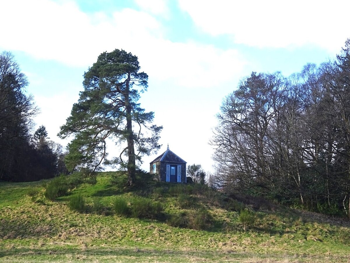
Trend summary
- The UK has earthquakes almost every day. Almost none of them do any harm.
- The British Geological Survey detected 327 earthquakes in and around the UK in 2025, up from 275 in 2024. Twelve reached magnitude 3 and 25 were felt by people.
- The largest onshore quake of 2025 was a magnitude 3.7 near Pubil, Perth and Kinross, on 20 October.
- The biggest UK quake of the last 20 years was the magnitude 5.2 Market Rasen earthquake in Lincolnshire on 27 February 2008.
What the numbers show
BGS publishes an annual bulletin covering the UK and its surrounding seas. In 2025 it located 327 events: 37 of magnitude 2 or more, 12 of magnitude 3 or more, and 25 felt. Counts move with local swarms rather than a clear trend. 2016 was the quietest year in the 47-year series, with 205 events, while 2019 peaked at 454, including about 135 small tremors linked to fracking near Blackpool.
BGS’s year-end release said the UK experienced an earthquake almost once a day in 2025, and the public sent in 1,320 felt reports.
What is driving it
Most UK earthquakes are natural, caused by slow stresses in old faults. But people add to the count. A peer-reviewed study (Wilson et al., 2015) found that at least about 21% of onshore UK quakes of magnitude 1.5 or more between 1970 and 2012 were caused by human activity, mostly coal mining. Fracking at Preston New Road produced a magnitude 2.9 tremor in August 2019, and the government ended support for fracking in England that November. Research based on that site (Schultz, Baptie et al., 2023) suggests that nuisance and damage, not injury, set the limits of what people will tolerate.
Recent cases
- 18 September 2026: a magnitude 3.3 quake in the southern North Sea, 25 km north-east of Skegness, is felt on the Lincolnshire coast (BGS).
- 3 December 2025: a magnitude 3.2 quake at Silverdale, Lancashire, draws 634 felt reports from Morecambe, Kendal and Lancaster (BGS).
- 20 October 2025: two quakes of magnitude 3.7 and 3.6, hours apart near Pubil in Glen Lyon, are felt up to about 60 km away (BGS).
Press releases and official reports, 2023–2026
Up to five key releases a year for the last four years, newest first. Most come from UK government departments, regulators, accident investigators and national statistics; a few news reports are included where they are the clearest public record of an event. Releases from 2007–2022 are in the expandable list after 2023.
2026
- 21 Sep 2026BGSSILVERDALE,LANCASHIRE
- 18 Sep 2026BGSSOUTHERN NORTH SEA
- 25 Aug 2026BGSGRIMSBY,LINCOLNSHIRE
- 6 Jun 2026BGSSILVERDALE,LANCASHIRE
- 2026BGSThe British Geological Survey Earthquake Bulletin for 2025
2025
- 29 Dec 2025BGSPerth and Kinross tops the UK’s earthquake activity charts for 2025
- 3 Dec 2025BGSSILVERDALE,LANCASHIRE
- 25 Nov 2025BGSNew research shows artificial intelligence earthquake tools forecast aftershock risk in seconds
- 20 Oct 2025BGSPUBIL,PERTH & KINROSS
- 2025BGSThe British Geological Survey Earthquake Bulletin for 2024
2024
- 26 Dec 2024BGSTwenty years on: the Indian Ocean earthquake and tsunami
- 13 Jun 2024BGSQuake it off: Taylor Swift concerts shake Edinburgh
- 23 Apr 2024DSITUK agrees research deal with Denmark and partnership with New Zealand to improve tsunami and earthquake detection
- 22 Mar 2024BGSKIRKBY,CUMBRIA
- 2024BGSThe British Geological Survey Earthquake Bulletin for 2023
2023
- 16 Oct 2023SeismicaRed-light thresholds for induced seismicity in the UK
- 2023BGSThe British Geological Survey Earthquake Bulletin for 2022
View 20 years of major UK earthquake reports (2007–2026)76 more from 2007–2022, up to five a year, newest first
2022
- 22 Sep 2022BEISUK government takes next steps to boost domestic energy production
- 22 Sep 2022BGSRecent scientific advances in the understanding of induced seismicity from hydraulic fracturing of shales
- 5 Apr 2022BEISScientific review of shale gas launched
- 15 Mar 2022BEISGovernment plans for fracking: response to an urgent question
- 2022BGSThe British Geological Survey Earthquake Bulletin for 2021
2021
- 21 Oct 2021Environment AgencyLow carbon subsurface technologies: identifying potential environmental impacts
- 2021BGSThe British Geological Survey Earthquake Bulletin for 2020
- 2021BGSEarthquake Seismology 2020/2021
- 2021BGSPotential risks of induced seismicity from high volume hydraulic fracturing of shales in Northern Ireland
2020
- 28 Apr 2020BGSSeismic Magnitudes, Corner Frequencies, and Microseismicity: Using Ambient Noise to Correct for High-Frequency Attenuation
- 31 Mar 2020House of Commons LibraryShale gas and fracking
- 2020BGSEarthquake Seismology 2019/2020
- 2020BGSBulletin of British Earthquakes 2019
2019
- 2 Nov 2019BEISGovernment ends support for fracking
- 22 Oct 2019Environment AgencyGuidance on seismic cluster definition and identification
- 15 Aug 2019BEISGovernment sets out position on shale gas exploration
- 14 Feb 2019Environment Agency12. Sub-surface information for hydraulic fracturing
- 2019BGSBulletin of British Earthquakes 2018
2018
- 19 Dec 2018Radioactive Waste ManagementSite Evaluation – How we will evaluate sites in England
- 24 Jul 2018BEISDecision announced on the Hydraulic Fracturing Consent application by Cuadrilla Bowland Ltd
- 17 Feb 2018BGSCWMLLYNFELL
- 2018BGSBulletin of British Earthquakes 2017
- 2018BGSEarthquake seismology 2017/2018
2017
- 10 Oct 2017Environment AgencyEnvironment Agency approves Third Energy's hydraulic fracture plan
- 4 Aug 2017BGSMOIDART
- 2017BGSBulletin of British Earthquakes 2016
- 2017BGSUK Earthquake Monitoring 2013/2014
- 2017BGSUK Earthquake Monitoring 2012/2013
2016
- 28 Sep 2016Environment AgencyPublic invited to meet the regulators of oil and gas industry
- 25 May 2016DECCGovernment's vision for shale gas in securing home grown energy supplies for the UK
- 11 Apr 2016Environment AgencyThird Energy is granted fracking permits for a site in North Yorkshire
- 2016BGSBulletin of British Earthquakes 2015
- 2016BGSBulletin of British Earthquakes 2014
2015
- Dec 2015Durham UniversityAnthropogenic earthquakes in the UK: A national baseline prior to shale exploitation
- 16 Jul 2015DECCGovernment defines Protected Areas for shale developments
- 14 Jun 2015DECCDECC responds to recent coverage on shale regulation
- 22 May 2015BGSRAMSGATE
- 16 Jan 2015Environment AgencyEnvironment Agency grants shale gas permit for Preston New Road
2014
- 28 Jul 2014DECCNew onshore licensing round opens
- 11 Jul 2014BGSJERSEY
- 24 Apr 2014DECCGuidance on the preparation of an environmental risk assessment of shale gas operations in Great Britain involving the use of hydraulic fracturing
- 20 Feb 2014BGSBRISTOL CHANNEL
- 2014BGSBulletin of British Earthquakes 2013
2013
- 9 Sep 2013DECCTraffic light monitoring system (shale gas and fracking)
- 18 Jul 2013DECCUK onshore production: Michael Fallon
- 15 May 2013DECCRobust regulation in place to accelerate shale development, says Energy Minister
- Mar 2013BGSSeismic hazard
- 2013BGSBulletin of British Earthquakes 2012
2012
- 13 Dec 2012DECCNew controls announced for shale gas exploration
- 17 Apr 2012DECCComments sought on recommendations from independent experts on shale gas and fracking
- Feb 2012BGSIslay Earthquakes February 2012
- 2012BGSUK Earthquake Monitoring 2011/2012
- 2012BGSBulletin of British Earthquakes 2011
2011
- 2 Nov 2011DECCCuadrilla's geomechanical study on Shale Gas: Statement by Charles Hendry
- 14 Jul 2011BGSEnglish Channel earthquake | Magnitude 3.9 | 14 July 2011
- 27 May 2011BGSBlackpool earthquake | Magnitude 1.5 | 27 May 2011
- 1 Apr 2011BGSBlackpool earthquake | Magnitude 2.3 | 1 April 2011
- 3 Jan 2011BGSRipon, North Yorkshire earthquake | Magnitude 3.6 | 3 Jan 2011
2010
- 21 Dec 2010BGSConiston, Cumbria earthquake | Magnitude 3.5 | 21 Dec 2010
- 2010BGSUK earthquake monitoring 2009/2010
- 2010BGSBulletin of British Earthquakes 2009
- 2010BGSSeismogenesis and state of stress in the UK
- 2010BGSUK 1-D regional velocity models by analysis of variance of P-wave travel times from local earthquakes
2009
- 18 Nov 2009BGSThe relationship between seismic local magnitude ML and charge weight for UK explosions
- 2009BGSUK Earthquake Monitoring 2008/2009
- 2009BGSBulletin of British Earthquakes 2008
2008
- 27 Feb 2008BGSMARKET RASEN,LINCS
- 2008BGSTwo notable earthquakes in 2008
- 2008BGSUK earthquake monitoring 2007/2008
- 2008BGSBulletin of British Earthquakes 2007
- 2008BGSObservations from the Folkestone, UK, earthquake of 28 April 2007
2007
- 28 Apr 2007BGSFOLKESTONE,KENT
- 2007BGSKent rocked
- 2007BGSUK Earthquake Monitoring 2006/2007
- 2007BGSBulletin of British Earthquakes 2006
- 2007BGSAn improved UK local magnitude scale from analysis of shear and lg-wave amplitudes
Some early years list fewer than five items. Many UK government releases from that period are no longer online at their original addresses, and we only list items we could open and check.
Photo list
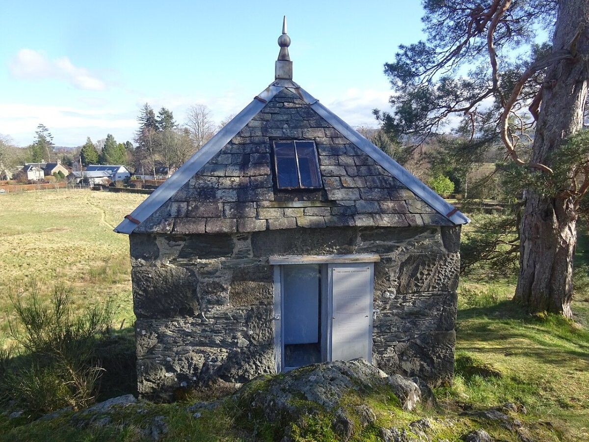
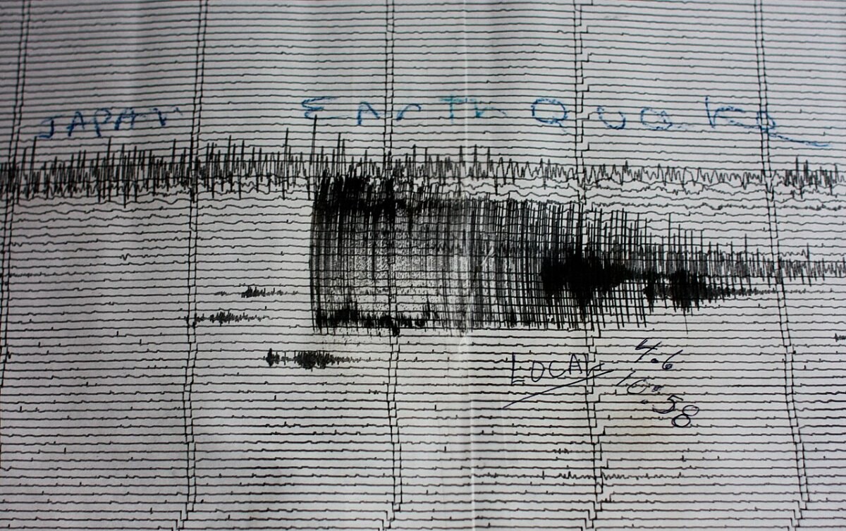
How this page is built. Figures come from the official statistical releases linked above; where agencies publish provisional numbers we say so, because they are revised. UK statistics are often published separately for England, Wales, Scotland and Northern Ireland, so we say which area each figure covers. Photos are public-domain, Creative Commons or Open Government Licence images credited in each caption; file photos are illustrative and are not from the events described unless the caption says so. This page tracks trends and is not personal safety, medical, legal or financial advice.