
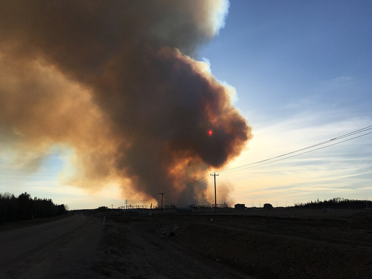
Trend summary
- Canada’s fire seasons have changed size. The country set an all-time record in 2023 and had its second-worst season in 2025.
- The 2023 season burned 17.2 million hectares, about six times the 10-year average, according to the Canadian Interagency Forest Fire Centre.
- 2025 burned more than 8.3 million hectares and forced 85,000 people from their homes. By mid-October 2026, this year had seen 5,400 fires and about 4.5 million hectares.
- Losses are growing too: the 2024 Jasper fire cost close to $1.3 billion in insured damage.
What the numbers show
The Canadian Interagency Forest Fire Centre counted 7,131 fires and 17,203,625 hectares burned in 2023, against a 10-year average of about 2.7 million hectares. Satellite-based estimates from Natural Resources Canada put 2023 a little lower, around 15 million hectares, because they map forest burned rather than all land, but every measure calls it a record. Environment and Climate Change Canada’s forest indicator shows 161,825 km² burned, more than double the previous high in 1995.
Public Safety Canada called 2025 the second-worst season in Canadian history: more than 6,000 fires, over 8.3 million hectares and 85,000 people evacuated, more than half of them from First Nations communities. 2026 had more fires but less area: by mid-August, 4,793 fires and 4.1 million hectares against 7.7 million at the same point in 2025 (Public Safety Canada). By 15 October the total was about 4.5 million hectares, with 33,750 people evacuated.
What is driving it
Heat and drought set up 2023. A peer-reviewed analysis (Jain et al., Nature Communications, 2024) found that early snowmelt, multi-year drought in the west and fast-developing drought in the east combined, with May-October temperatures 2.2 °C above normal. Natural Resources Canada reports that climate change made Quebec’s extreme fire weather that year at least twice as likely, and that Canada is warming about twice as fast as the global average, which lengthens fire seasons.
A small number of fires do most of the damage: only about 3% grow beyond 2 km², but they account for 97% of the area burned (ECCC).
Recent cases
- August 2026: the Bald Range fire near Summerland and Peachland, BC, displaces residents; more than 10,000 people in southern BC are under evacuation orders on 18 August (Public Safety Canada).
- July 2026: during a heat wave in northwestern Ontario, the Canadian Armed Forces airlift about 900 residents of Eabametoong First Nation (Public Safety Canada).
- 25 July 2025: insured losses from the 2024 Jasper fire rise to just under $1.3 billion, the second-costliest wildfire in Canadian history (Insurance Bureau of Canada).
Press releases and official reports, 2023–2026
Five key releases a year for the last four years, newest first. Most come from federal departments and agencies, the Transportation Safety Board, Statistics Canada and provincial governments; a few news and trade reports are included where they are the clearest public record of an event. Releases from 2007–2022 are in the expandable list after 2023.
2026
- 15 Oct 2026Public Safety CanadaGovernment of Canada provides an update the 2026 wildfire season – October update
- 18 Aug 2026Public Safety CanadaThe Government of Canada provides an update regarding the 2026 wildfire season – August update
- 5 Aug 2026IBCBritish Columbia Wildfires: Insurance Bureau of Canada provides insurance guidance
- 20 May 2026Public Safety CanadaMinister Olszewski announces disaster recovery funding for the 2016 Fort McMurray wildfires
- 20 Jan 2026IBCSevere weather-related insured losses in Canada exceed $2.4 billion in 2025
2025
- 30 Oct 2025Public Safety CanadaGovernment of Canada provides update on 2025 wildfires as support continues
- 7 Aug 2025Public Safety CanadaStatement from Minister Olszewski regarding wildfires in Newfoundland and Labrador
- 25 Jul 2025IBCInsured losses from Jasper wildfire rise to just under $1.3 billion
- 18 Jul 2025NRCanCanada Invests in Wildfire Innovation and Resilience Through New Centre of Excellence
- 29 May 2025Public Safety CanadaStatement from Minister Olszewski regarding wildfires in Manitoba
2024
- 18 Sep 2024Parks CanadaRebuilding after the fire: Government of Canada introduces legislation to enable the transfer of land use planning and development authorities to the Municipality of Jasper
- 27 Aug 2024IBCInsured losses from Jasper wildfire surpass $880 million
- 1 Aug 2024Public Safety CanadaStatement from Minister Sajjan and Minister Guilbeault to support those affected by Jasper wildfires
- 26 Jul 2024Public Safety CanadaStatement from Minister Sajjan regarding the wildfires situation in Alberta
- 5 Jun 2024ECCCNew public alert makes it easier to understand air quality conditions during wildfire events and year-round
2023
- 8 Sep 2023NRCanGovernment of Canada Commits Significant Funding for Wildfire Equipment and Provides Update on 2023 Wildland Fire Season Forecast
- 20 Aug 2023IBCInsurance experts provide guidance to residents affected by wildfires in British Columbia and Northwest Territories
- 15 Aug 2023Public Safety CanadaGovernment of Canada providing assistance to the Northwest Territories in response to wildfires
- 19 Jun 2023Health CanadaPublic Health Update on the Health Effects of Wildfires
- 1 Jun 2023NRCanThe Government of Canada Is Supporting Canadians Through the 2023 Wildfire Season
View 20 years of major Canadian wildfire press releases (2007–2026)78 more from 2007–2022, up to five a year, newest first
2022
- 21 Dec 2022ECCCCanada’s top 10 weather stories of 2022
- 25 Nov 2022NRCanMP Hanley Announces New Yukon Indigenous Firefighting Pilot Project and Highlights Canada's National Adaptation Strategy
- 24 Nov 2022NRCanMinister Wilkinson Announces New Programs That Combat the Risks Canadians Face From Flooding, Wildfires and Coastal Erosion in Support of Canada’s First National Adaptation Strategy
- 13 Oct 2022NRCanTree-Planting Drones to Revitalize Reforestation Efforts in Areas Affected by Wildfires
- 30 Jun 2022Public Safety CanadaStatement by Ministers marking one year since the Lytton wildfire
2021
- 25 Oct 2021Public Safety CanadaGovernment of Canada assists Northwest Territories with 2014 wildfire costs
- 20 Jul 2021Public Safety CanadaManitoba to receive federal assistance with ongoing wildfire situation
- 20 Jul 2021Public Safety CanadaBritish Columbia to receive federal assistance with ongoing wildfire situation
- 11 Jul 2021Public Safety CanadaGovernment of Canada provides wildfire evacuation support to residents of Poplar Hill First Nation
- 4 Jul 2021Public Safety CanadaGovernment of Canada provides federal assistance to British Columbia for wildfires
2020
- 16 Dec 2020ECCCCanada’s top 10 weather stories of 2020
- 16 Oct 2020Government of NLNumber of Wildfires Caused by People Down Again in 2020
- 24 Jun 2020NRCanInvesting in Wildland Fire Research to Protect Canadians
- 5 Jun 2020Government of NLFireSmart Grants Helping Protect Communities
- 22 Apr 2020Government of NLPublic Advisory: New Restrictions for Open Fires
2019
- 25 Jul 2019Alberta WildfireHigh Level Forest Area Wildfire Update | Chuckegg Creek Wildfire is Being Held
- 6 Jul 2019Public Safety CanadaStatement from Minister Goodale regarding Forest Fire Impact on Pikangikum First Nation
- 31 May 2019Public Safety CanadaStatement from Minister Goodale regarding Alberta Wildfires
- 17 May 2019Alberta WildfireWILDFIRE UPDATE | MAY 17, 2019 AT 9:30 PM
- 10 Jan 2019ECCCCanada’s top 10 weather stories of 2018
2018
- 28 Sep 2018Government of NLFast Action Results in Less Area Burned Despite Increase in Fire Starts in 2018
- 17 Aug 2018Government of NLProvincial Government Responding to Call to Help Fight Forest Fires
- 13 Aug 2018Public Safety CanadaStatement from Ministers Goodale and Sajjan about the wildfires in British Columbia
- 26 Jun 2018Government of NLMinister Byrne Provides Update on Forest Fire Season
- 4 Jan 2018Public Safety CanadaGovernment of Canada makes $175 million payment to B.C. for wildfire recovery
2017
- 20 Dec 2017ECCCCanada’s top 10 weather stories 2017
- 14 Nov 2017Public Safety CanadaGovernment of Canada provides funding to the Canadian Interagency Forest Fire Centre
- 15 Sep 2017Public Safety CanadaMinisters Goodale and Sajjan recognize Canadian Armed Forces support in combatting British Columbia wildfires
- 22 Jul 2017Public Safety CanadaMinisters tour affected areas with BC counterparts, announce Red Cross donation and tax relief measures for wildfire evacuees
- 10 Jul 2017Public Safety CanadaStatement from Minister Goodale regarding wildfires in British Columbia
2016
- 29 Jul 2016Statistics CanadaGross domestic product by industry, May 2016
- 10 Jun 2016Statistics CanadaLabour Force Survey, May 2016
- 10 Jun 2016Government of AlbertaFinal Update 39: 2016 Wood Buffalo Wildfires (June 10 at 4:30 p.m.)
- 4 May 2016Government of AlbertaAlberta Government matching Red Cross donations for Fort McMurray
- 3 May 2016Public Safety CanadaStatement from Minister Goodale on Wildfire Situation in Fort McMurray
2015
- 19 Oct 2015Government of SaskatchewanWildfire Review Underway
- 17 Jul 2015Government of SaskatchewanWall Grateful to Receive Support of Premiers for National Contingency and Firefighting Training for Canadian Forces
- 10 Jul 2015Government of SaskatchewanEvacuees Encouraged to Check Insurance Coverage
- 4 Jul 2015Government of SaskatchewanForest Fire Statement: Office of the Fire Commissioner
- 25 Jun 2015Government of SaskatchewanWildfire Situation Escalating in Northern Saskatchewan
2014
- 19 Aug 2014Government of ManitobaNew Community Service Awards for Natural Resource Officers, Wildland Fire Fighters
- 22 Jul 2014Government of ManitobaManitoba to Help British Columbia, Northwest Territories Battle Forest Fires
- 10 Jun 2014Government of NWTWildlife Fire Danger and Person-Caused Fires
2013
- 18 Jun 2013Government of ManitobaPremier Meets With Community Leaders, Crews Battling Northern Wildfires
- 10 Jun 2013Government of ManitobaManitoba's Newest Water Bomber Joins Fleet in Battling Northern Fires
- 16 May 2013Government of ManitobaFire Bulletin #2
- 8 May 2013Government of ManitobaFire Bulletin #1
- 20 Feb 2013Government of SaskatchewanSASKATCHEWAN FORESTS ARE HEALTHY
2012
- 13 Jul 2012Government of SaskatchewanHEALTH ADVISORY ON AIR QUALITY
- 14 Jun 2012Government of SaskatchewanSASKATCHEWAN FIREFIGHTING AIRCRAFT GONE TO U.S.
- 22 May 2012Government of SaskatchewanMINISTRY OF ENVIRONMENT LAUNCHES PUBLIC CONSULTATIONS ON PROPOSED NEW WILDFIRE ACT
- 3 May 2012Government of ManitobaEnhanced Water-bomber Fleet Increases Capacity to Battle Forest Fires
- 25 Apr 2012Government of SaskatchewanHUDSON BAY MAN FINED $2,500 FOR BURNING DURING A FIRE BAN
2011
- 26 Sep 2011Government of SaskatchewanLESSONS LEARNED FROM THE NISBET FIRE
- 3 Aug 2011Government of ManitobaBan Introduced on Fires, Provincial Burning Permits in Eastern Region of Manitoba
- 29 Jun 2011Government of ManitobaMinister Reminds Manitobans to Practise Safety Around Campfires
- 18 May 2011Government of SaskatchewanOPEN FIRES BANNED IN PROVINCIAL FOREST
- 19 Apr 2011Government of SaskatchewanUPGRADED AMPHIBIOUS AIRCRAFT ARRIVES IN SASKATCHEWAN
2010
- 20 Aug 2010Government of SaskatchewanSASKATCHEWAN ISSUES HEALTH ADVISORY ON AIR QUALITY
- 30 Jun 2010Government of SaskatchewanFLYING LANTERNS – A FIRE RISK
- 27 May 2010Government of ManitobaManitoba Sends Water Bomber Group to Assist with Quebec Forest Fires
- 21 May 2010Government of ManitobaManitobans Reminded to Take Precautions to Prevent Forest Fires
- 19 May 2010Government of ManitobaManitoba Wildfire Season Underway
2009
- 27 Nov 2009Government of SaskatchewanHUNTERS: TAKE CARE WITH FIRE
- 31 Jul 2009Government of ManitobaProvince Sends 40 More Forest Firefighters to British Columbia
- 24 Jul 2009Government of ManitobaManitoba Sends Forest Firefighters to British Columbia
- 7 May 2009Government of ManitobaReducing Risk of Wildfires, Environmental Damage Aim of New Rules for All-terrain Vehicles: Struthers
- 3 Apr 2009Government of SaskatchewanMINISTRY OF ENVIRONMENT RENEWS FIRST NATIONS WILDFIRE PROTECTION AGREEMENTS
2008
- 15 Jul 2008Government of SaskatchewanSTATEMENT BY CORRECTIONS, PUBLIC SAFETY AND POLICING MINISTER DARRYL HICKIE ON NORTHERN FOREST FIRE EVACUATIONS
- 29 May 2008Government of ManitobaForest Fire Update #2
- 28 May 2008Government of ManitobaFires Force Evacuations of Northern Residents
- 8 May 2008Government of SaskatchewanTAKING ACTION TO PROTECT COMMUNITIES, PEOPLE AND FOREST RESOURCES
- 6 May 2008Government of ManitobaProvince Prepares For Wildfire Season
2007
- 11 May 2007Government of SaskatchewanREPORT ON SASKATCHEWAN’S PROVINCIAL FORESTS RELEASED
- 7 May 2007Government of ManitobaFire Hazard Eases In Manitoba
- 4 May 2007Government of ManitobaFire Hazard Remains High In Manitoba
- 1 May 2007Government of ManitobaFire Hazard Remains High In Manitoba
- 19 Apr 2007Government of SaskatchewanTWO NEW AIRTANKERS JOIN SASKATCHEWAN ENVIRONMENT’S FLEET
Some early years list fewer than five items. Many Canadian government releases from that period are no longer online at their original addresses, and we only list items we could open and check. Where a page shows no date, the date comes from the release address or the publisher’s own index.
Photo list
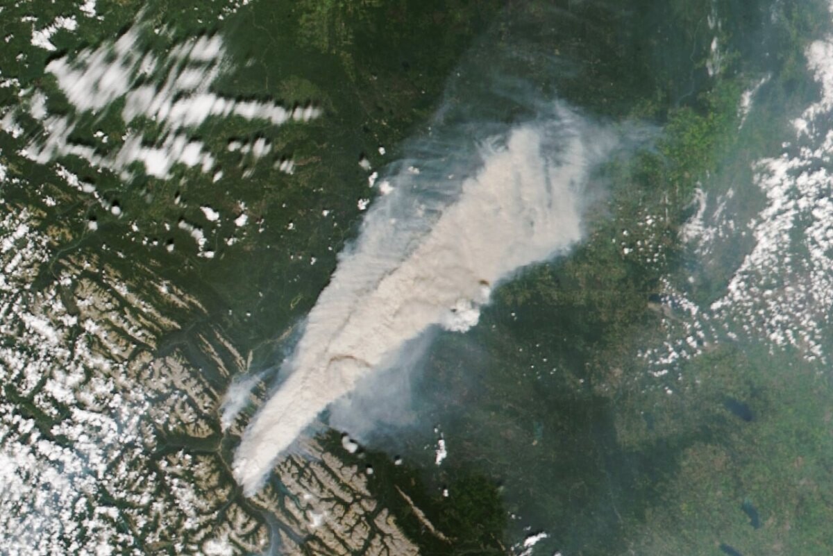
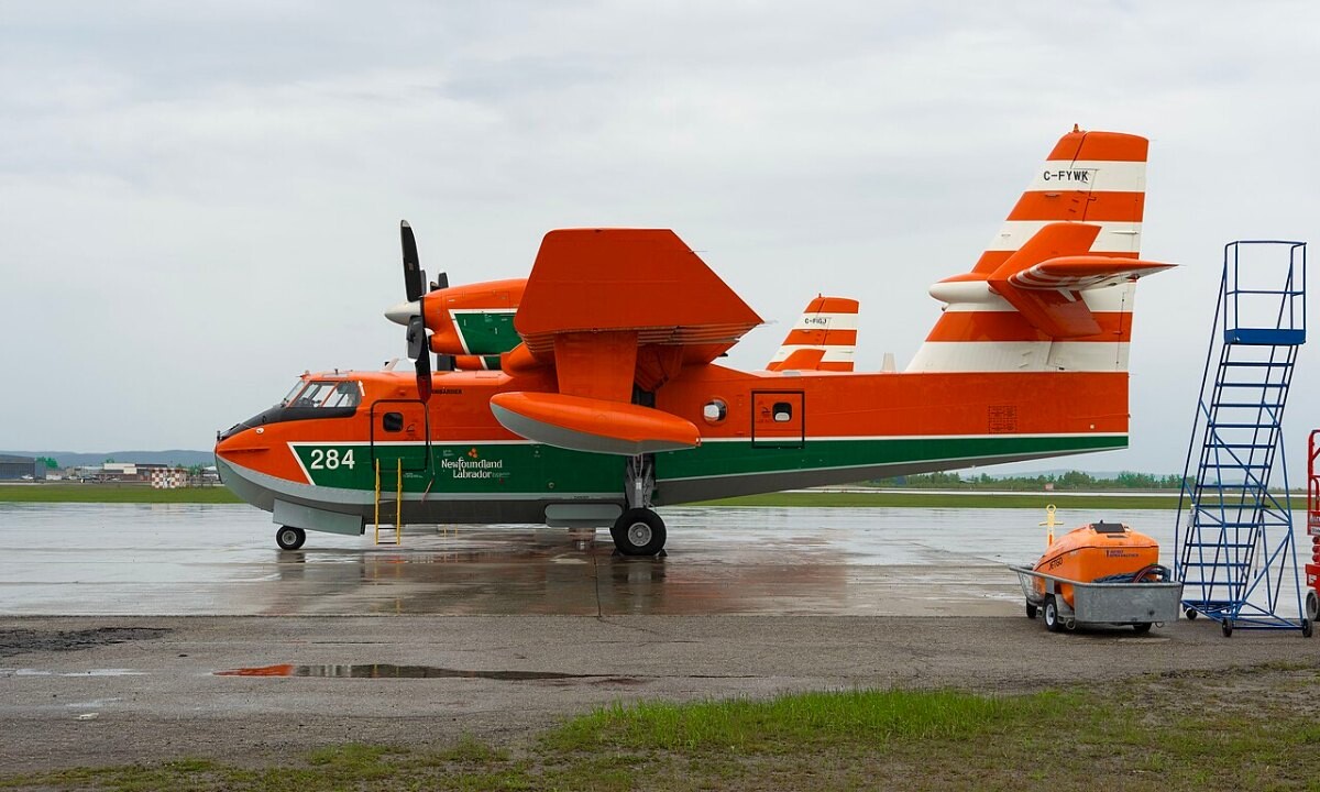
How this page is built. Figures come from the official statistical releases linked above; where agencies publish provisional numbers we say so, because they are revised. Canadian statistics are often collected by provinces and territories, and some national series run several years behind, so we say which area and year each figure covers. Photos are public-domain or Creative Commons images credited in each caption; file photos are illustrative and are not from the events described unless the caption says so. This page tracks trends and is not personal safety, medical, legal or financial advice.